Order your Satellite Imagery Now

For more than 30 years, Geocarto International Centre Ltd. has been a leading distributor of satellite remote sensing data and provider of image processing services in the Asia Pacific region.

Proceed to Order Portal

News: Kenya to launch first locally made satellite into space

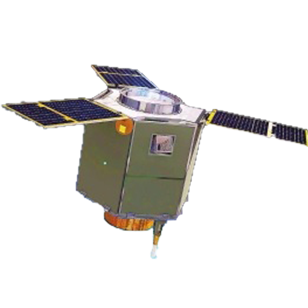
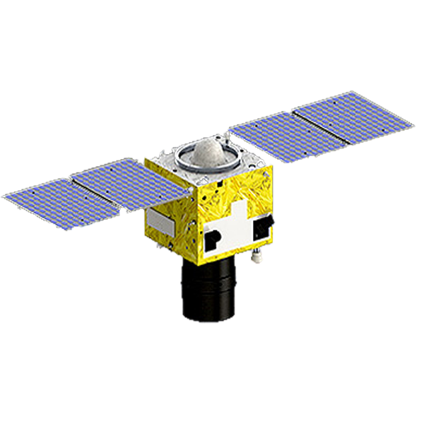
The first locally made satellite was launched in Kenya on Friday (7 May). The satellite was developed by the partnership of the researchers and students in the University of Nairobi (UoN) and the Japanese Space Agency...

(8/5/2018 14:40PM)

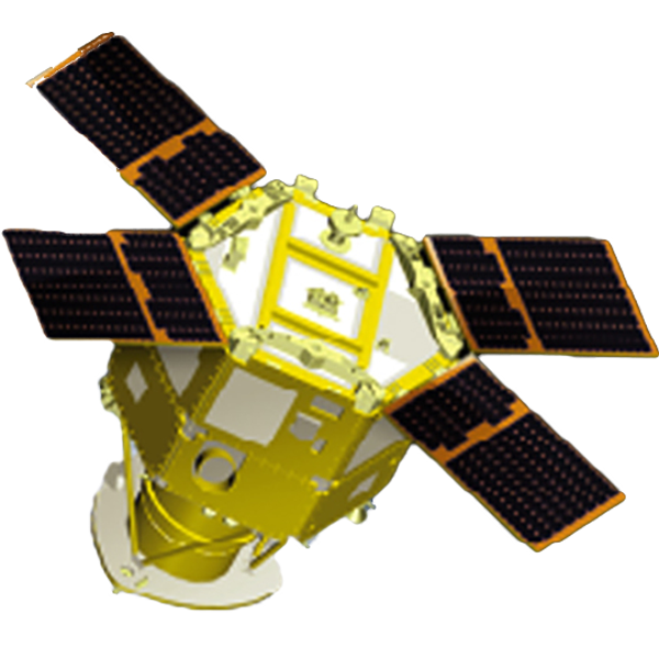
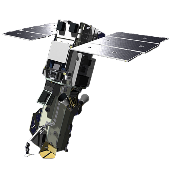
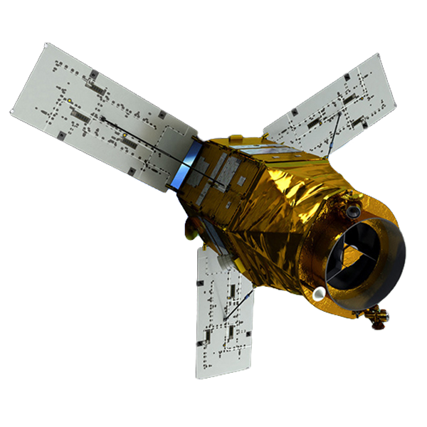
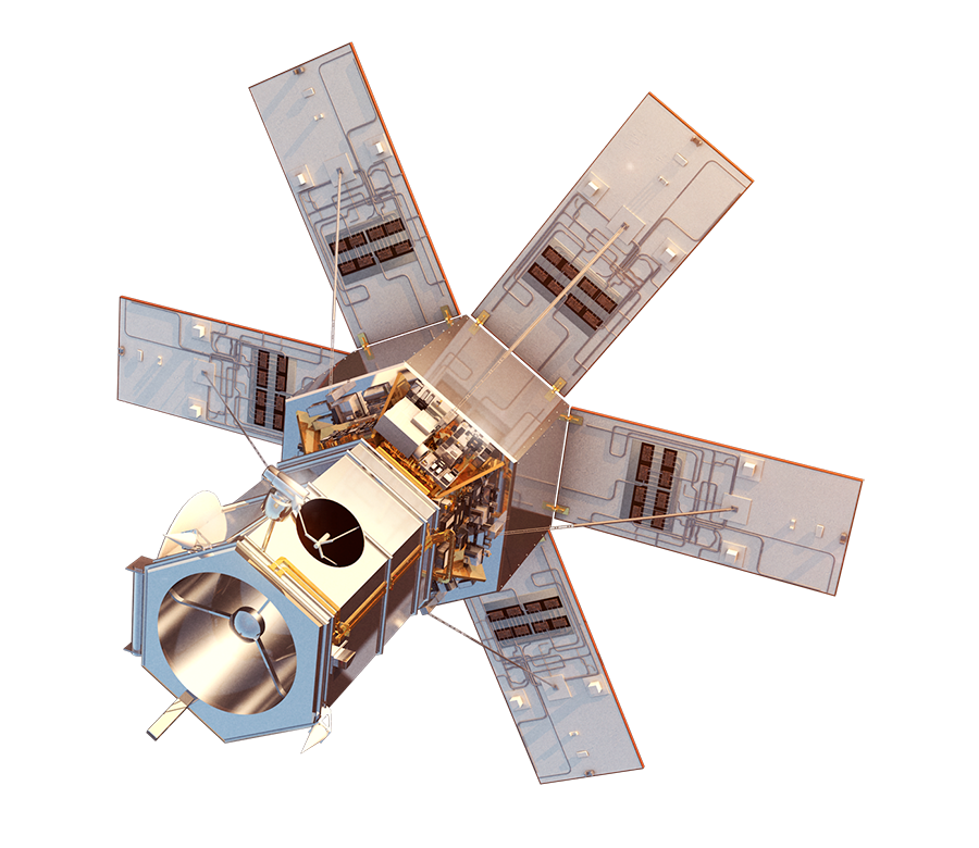
News: WorldView-4 launched on 11 Nov 2016

WorldView-4, previously known as GeoEye-2, launched The satellite was developed by the partnership of the researchers and students in the University of Nairobi (UoN) and the Japanese Space Agency...

(20/12/2017 15:26PM)

WorldView 4 Fact Sheet

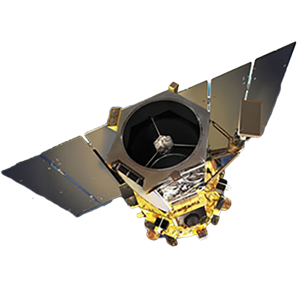
SPOTLIGHT: WorldView-4 launched on 11 Nov 2016

WorldView-4, previously known as GeoEye-2, launched The satellite was developed by the partnership of the researchers and students in the University of Nairobi (UoN) and the Japanese Space Agency...

Green: Hight EVI; Red: Low EVI

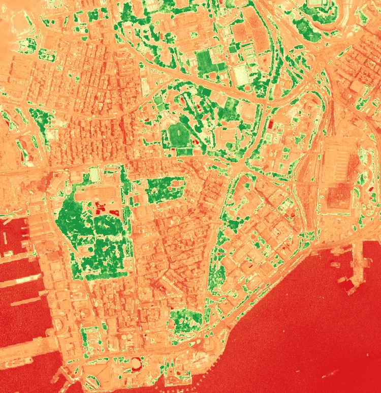
Enhanced Vegetation Index (EVI)

Enhanced Vegetation Index is calculated as EVI = 2.5 * (NIR-Red)/(NIR+6*Red-7.5*Blue+1). This formula is used to check the grove and development of the vegetation layer of a specific region.

Check

Reclamation in Hong Kong

Remote Sensing Techniques

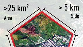
Satellite can be used to compute land area change, vegetation healthiness, terrain effect, etc. Check out our newly-created interactive remote sensing tools to learn some basic remote sensing concepts.

Show me more

The Revised Great Bay Area

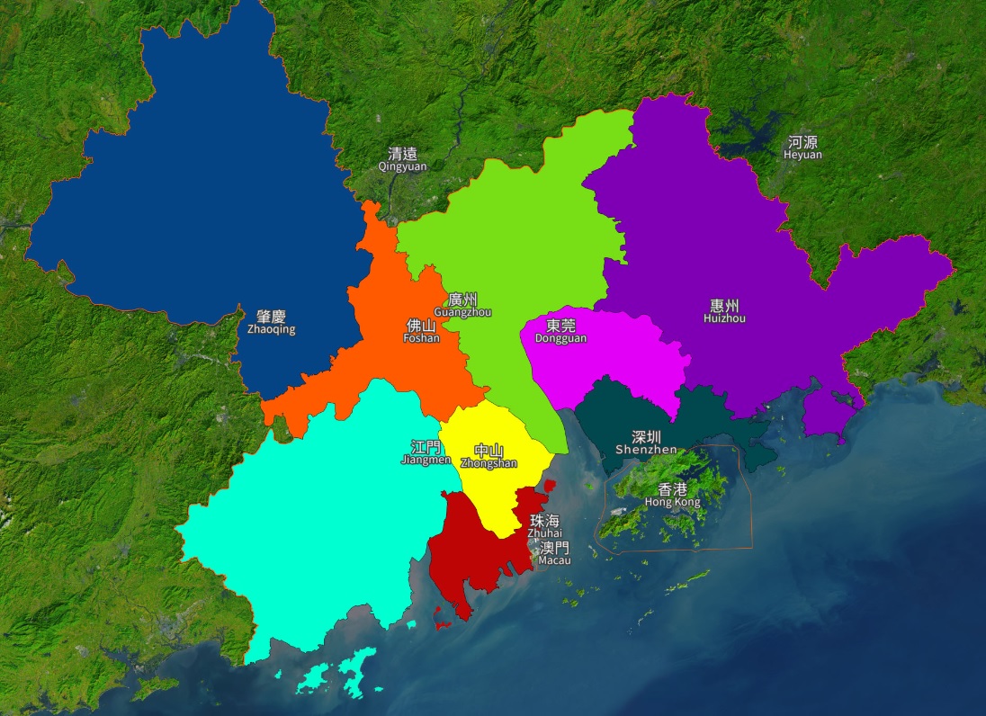
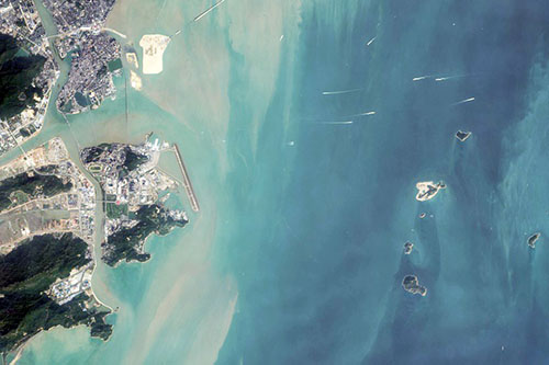
Economic Development - Great Bay Area from Satellite

Economic Development of the Great Bay Area increased rapidly from the 1990s to 2000s. Guangdong Province ranked the highest province of GDP value in China.

Take the Ride

Tree Health Indication Curve

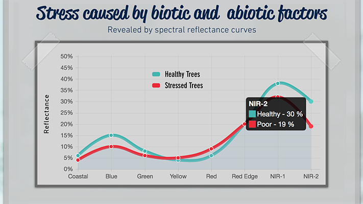
Tree Health Monitoring

See how we monitor tree stress from space using WorldView-2 or WorldView-3 high resolution satellite data. We detect 3 warning signs revealed by stressed trees before collapse caused by biotic and abiotic factors.

Explore the warning signs

Satellite Imagery Samples

Want to know what can a high resolution satellite imagery reveal?

The following are a range of imagery product samples available. Please contact us if you would like to get some image samples related to your activity.

Tai Po, Hong Kong


SPOT-7
1.5 m Natural Color Image, Pan-sharpened


Image Copyright © Airbus Defence and Space
Distributed by Geocarto

Repulse Bay, Hong Kong


WorldView-3
50cm Color Infrared Image, Pan-sharpened


Image Copyright © DigitalGlobe
Distributed by Geocarto

Kowloon Peninsula


KOMPSAT-3
70cm Natural Color Image, Pan-sharpened


Image Copyright © KARI
Distributed by Geocarto

Estimating the Suitable Order Area

Want to know how many satellite data you should order? You can easily get an estimate of your AOI's area under a minute.

AOI Area Estimator

Easily get an estimate of your AOI's area under a minute.

About Us

Our History

Geocarto International Centre (GIC), established in 1985 in Hong Kong, is the predecessor of Geocarto International Centre Ltd. incorporated in September 2011. The centre is the only organization in Asia that performs an integrated function in promoting Remote Sensing technologies. Its quarterly journal, Geocarto International, has publicized several commercial earth observation satellites by publishing special issues, such as SPOT (Vol. 1, No. 3, 1986), Landsat TM (Vol. 5, No. 1, 1990), RADARSAT (Vol. 10, No. 3, 1995), and ADEOS (Vol. 12, No. 4, 1997). Geocarto International was published by GIC for 20 years from 1986 to 2006. Effective from January 1st, 2007, this journal is published and distributed by Taylor and Francis in the UK.

Our Mission

Geocarto International Centre aims at promoting multi-disciplinary research in and applications of Remote Sensing, GIS, Geoscience, and Cartography through:

  1. publication of scientific and professional periodicals, books and maps
  2. distribution services for publishers of these subjects
  3. organization of exhibitions on Remote Sensing/GIS
  4. marketing of satellite data and image processing software for research projects and practical applications
  5. provision of technical advice and image processing services to customers in the application of Remote Sensing technologies.


Consult us now

For further assistance or if you have any questions please do not hesitate to contact us.