Satellite Imagery
We distribute a wide range of cost-effective and affordable satellite images.
WorldView-3
Maxar Technology
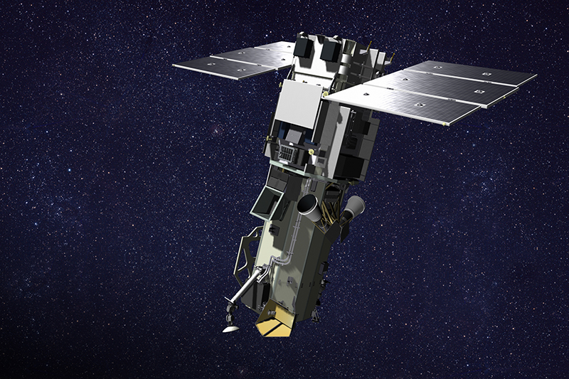
WorldView-3, launched on August 13, 2014, is the industry's first multi-payload, super-spectral, high-resolution commercial satellite.
| Sensor Specifications | |
|---|---|
| Launch Date | 2014-08-13 |
| Status | Available |
| Order Specifications | |
| Minimum Order Area | 25 sq.km |
WorldView-3, launched on August 13, 2014, is the industry's first multi-payload, super-spectral, high-resolution commercial satellite. Operating at an expected altitude of 617 km, WorldView-3 provides 31 cm panchromatic resolution, 1.24 m multispectral resolution, 3.7 m short-wave infrared resolution, and 30 m CAVIS resolution.
WorldView-3 has an average revisit time of less than 1 day and is capable of collecting up to 680,000 km square per day. The geolocation accuracy is less than 3.5m CE90 without ground control.
| Panchromatic | 450 - 800 nm |
| Multispectral |
Band 1 (Coastal): 400 - 450 nm Band 2 (Blue): 450 - 510 nm Band 3 (Green): 510 - 580 nm Band 4 (Yellow): 585 - 625 nm Band 5 (Red): 630 - 690 nm Band 6 (Red Edge): 705 - 745 nm Band 7 (NIR-1): 770 - 895 nm Band 8 (NIR-2): 860 - 1040 nm |
| SWIR |
SWIR-1: 1195 - 1225 nm SWIR-2: 1550 - 1590 nm SWIR-3: 1640 - 1680 nm SWIR-4: 1710 - 1750 nm SWIR-5: 2145 - 2185 nm SWIR-6: 2185 - 2225 nm SWIR-7: 2235 - 2285 nm SWIR-8: 2295 - 2365 nm |